Walks
There are many walks and hikes starting from or near the house.
Going directly from the house, if you are up for a steep climb, it is possible to reach the peak of 'Peña la Carta' and continue on to 'Semuñon' -an old cheese making village or 'majada' where villagers took their livestock in the summer to graze and make cheese. For less strenuous outings, there are walks in the lower slopes going down into the valley to the local villages of Carreña, Poo and Arenas on foot.
At 20 mins distance by car, the start of many other walks can be reached including the great ascent to the Naranjo de Bulnes, the highest peak of the Picos.
There are maps of the local area and walking itineries in the house for more specific information. If you want to buy your own maps the Adrados maps: Picos De Europa, Western Massif (El Cornion) and Picos de Europa, Central and Eastern Massif (Los Urielles and Andarra) are available from Stanfords.co.uk.
Make sure you are prepared! Good walking boots are essential. If you want to do high mountain treks then more sophisticated equipment might be nesessary as the snow can remain till the end of May sometimes longer.
Itineraries available to download:
Walks direct from the house:
Walk to La Molina and beyond to the river. 7km. Very easy.
Walk to Carreña, Poo and Arenas de Cabrales. 10km. Very easy.
Walk to Inguanzo, Poo and Arenas over the hills. 16km. Easy.
Walks not direct from the house:
Walk to the Lakes from Desmués. 20km. Easy-Moderate.
Walk to Caín from Poncebos, La Ruta de Cares. 20km. Easy.
Walk to the Andara Refuge. 16km. Easy-Moderate.
Walk to the Naranjo de Bulnes (Pico Urriellu). 14km. Easy-Moderate
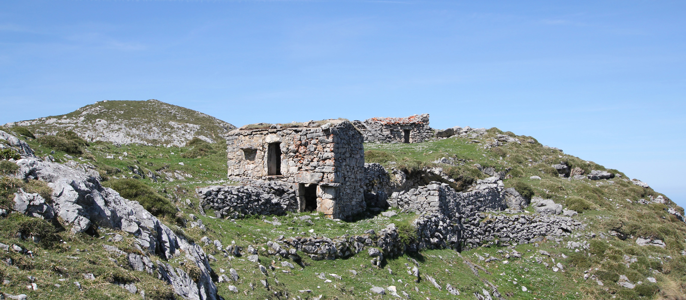
Semuñon, an old cheese making village high up in the mountains.